




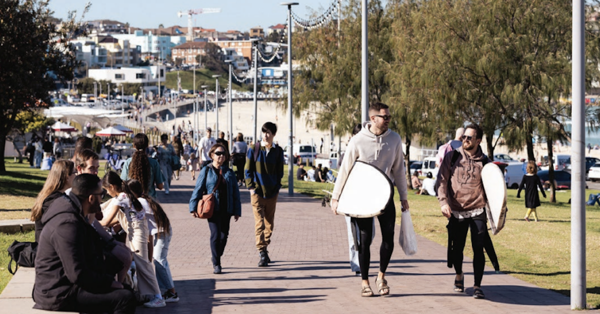
A draft walking strategy for Waverley recognises that suburbs such as Dover Heights face different challenges from the area’s busier centres, where shops, transport and services are often closer together.
In Bondi Junction, many residents can walk to shops, public transport and services within minutes. Dover Heights is different. Steep streets, longer distances and fewer transport connections shape how people move around the suburb.
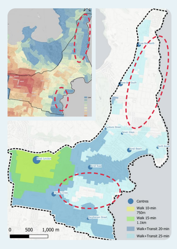
Even Waverley Council’s draft Walking Waverley strategy acknowledges that walking is not yet as practical a transport option in some parts of the local government area, including Dover Heights.
The draft strategy, currently open for public comment until 7 July 2026, examines how walking conditions could be improved across Waverley over the next decade. While much of the document focuses on busy pedestrian areas such as Bondi Junction and Bondi Beach, it also highlights the challenges facing less-connected suburbs.
A Different Experience From Waverley’s Major Centres
The strategy identifies topography as one of the biggest barriers to walking across Waverley. In Dover Heights, steep roads and greater distances between homes, transport links and local destinations create a different experience from the municipality’s more densely developed centres.
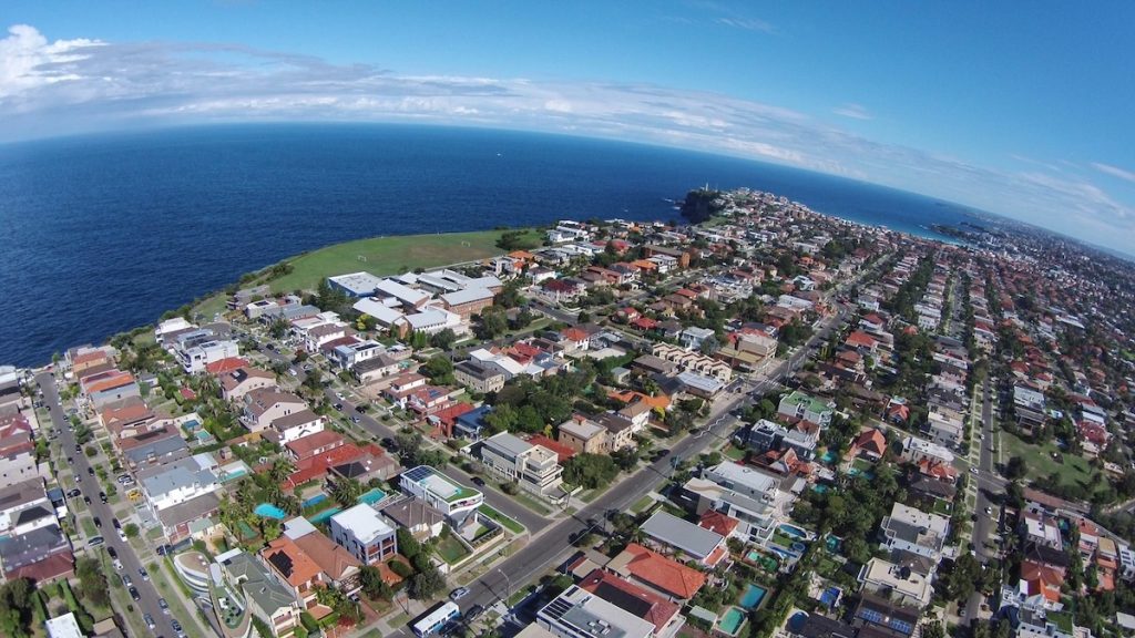
The document notes that some parts of Dover Heights currently have limited access to walking and public transport compared with other areas of Waverley. While residents in Bondi Junction can reach a wide range of services and transport options on foot, daily journeys in Dover Heights often involve longer distances and greater reliance on buses or private vehicles.
These differences are reflected throughout the draft strategy, which takes a municipality-wide approach while recognising that not every suburb faces the same transport challenges.
More Than New Footpaths
The strategy’s 162 identified improvement opportunities extend beyond footpath construction.
The draft document proposes a range of measures aimed at making walking safer, easier and more accessible. These include additional pedestrian crossings, improvements to intersections, accessibility upgrades, safer routes to schools and better connections to public transport.
Community feedback gathered during earlier consultation found that residents were particularly concerned about road crossing safety, vehicle speeds, footpath conditions and obstacles that make walking difficult.
The strategy also proposes working with Transport for NSW to reduce delays for pedestrians at signalised crossings in high-activity areas and improve access around transport corridors.
| Focus Area | What It Covers |
| Slow Streets | Expansion of 40 km/h zones and other measures to reduce vehicle speeds based on local street conditions and surrounding land uses. |
| Right-Sizing Intersections | Changes to intersections that currently prioritise vehicle movement, with the aim of improving pedestrian access, safety and comfort. |
| Vehicle Entrances and Exits | Measures to reinforce pedestrian priority and improve safety where vehicles cross footpaths at driveways, car parks and access points. |
| Pedestrian Safety Initiatives | Infrastructure upgrades at pedestrian crash locations, combined with community education and awareness programs to improve safety outcomes. |
| Pedestrian Crossing Improvements | Additional crossing opportunities and treatments designed to make road crossings safer, easier and more direct for pedestrians. |
| Pedestrian Signal Priority | Collaboration with Transport for NSW to reduce waiting times at traffic signals, particularly in areas with high pedestrian activity. |
| Bus Stop Improvements | Better pedestrian access around bus stops, including safer street crossings and additional footpath space for waiting passengers and pedestrians. |
| Footpath Surface Improvements | Upgrades to footpaths, streetscapes and walking routes, including heavily used unpaved sections and links through parks and open spaces. |
| Active Travel to School | Continued engagement with schools and pursuit of external funding to improve walking routes and support safer journeys to and from school. |
| Continuous Travel Paths | Accessibility improvements that support the Disability Inclusion Action Plan, including continuous and accessible routes for people with mobility limitations. |
Improving Connections to Public Transport
A recurring theme throughout the document is the relationship between walking and public transport. According to the strategy, walking and public transport together account for around half of all trips made within Waverley. Improving access to bus services is therefore considered an important part of improving walkability across the municipality.
Proposed measures include safer crossings near bus stops, additional space for waiting passengers and upgrades that make pedestrian routes easier to navigate.
For suburbs such as Dover Heights, where bus services often provide the main connection to larger centres and employment areas, improvements to walking routes may influence how easily residents access public transport.
The draft strategy forms part of a broader planning framework that includes Waverley’s Community Strategic Plan, People, Movement and Places plan, Environmental Action Plan and Disability Inclusion Action Plan.
If adopted, the strategy would help guide future walking-related projects across the municipality over the coming decade.
Published 10-June-2026


